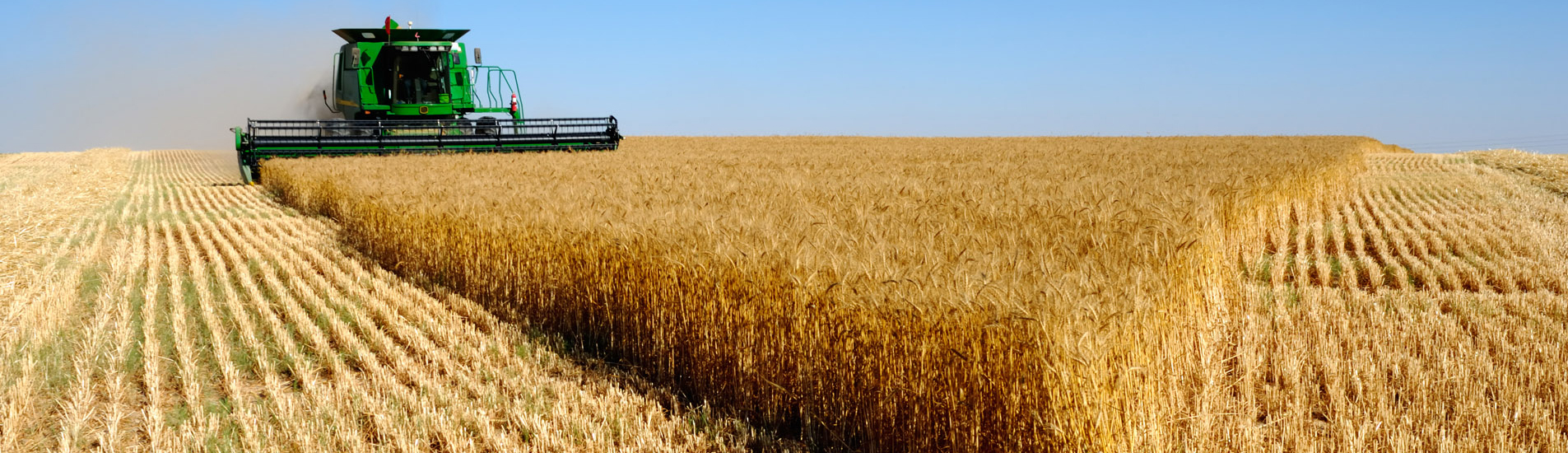
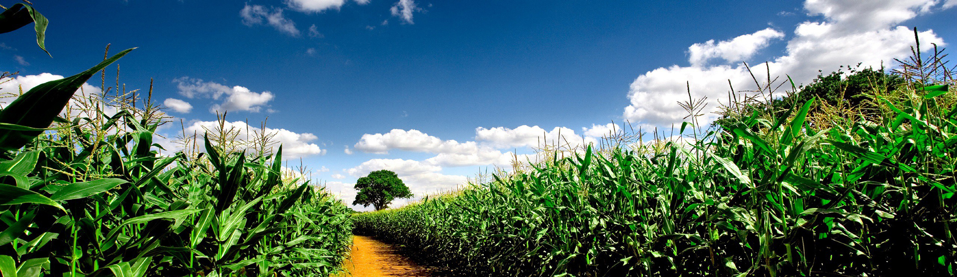


Knezha is located in the central part of the Danube plain. The common topography can be defined as plane. Most of the terrain has altitude of 100 to 200m and only at the valley of river Iskar from 0 to 100m. The absolute altitude of Knezha is 62m. The topography of the municipality is slightly inclined northwest, as the plain and mildly hilly type of the relief allows very good farming opportunities.
On the territory of Knezha commonly spread are the following soil types:
- Carbonate chernozems - these soils are rich in Calcium and with high consistancy of Phosphor.
- Typical chernozems - they take a big part of the region. Rich in Nitrogen and Potassium, and Phosphor is more absorbable than in carbonated chernozems.
- Lye chernozems - are found more often than Carbonate and typical chernozems.
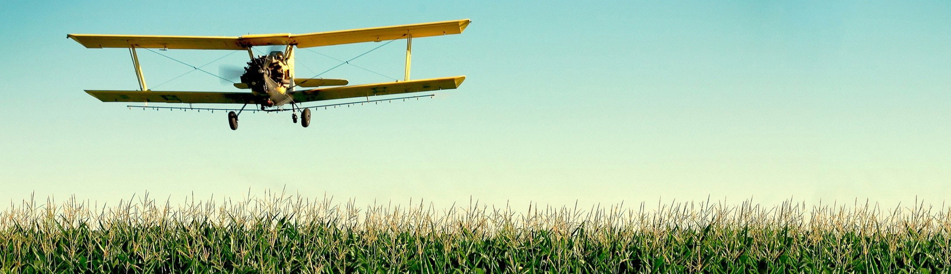
In the last 10 years the usage of mineral fertilizers and chemical agents has considerably decreased which positively inflicted the natural restoration of the soils. On the territory of the municipality there are no chemicly poluted soils so the area is suitable for ecologically clean production. There are no soils poluted with persistent organic pollutant /PAH, PCB, pesticides/.